
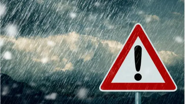


The South African Weather Service (SAWS) has issued a stern warning to residents in the Western Cape as a powerful cold front is expected to make landfall on Saturday, bringing with it damaging winds, turbulent seas, and potentially hazardous conditions for coastal communities and maritime activity.
In its latest advisory, SAWS has announced a yellow level 4 weather warning for parts of the province, highlighting the risk of strong to gale-force winds that may result in structural damage, flying debris, and disruptions along key transport routes. The warning specifically applies to the coastal belt and surrounding regions, where the worst of the weather is anticipated to hit.
Dangerous Winds and Disrupted Maritime Hits Western Cape
According to SAWS forecaster Luthando Masimini, the incoming cold front will be accompanied by damaging winds that could pose a serious threat to small vessels at sea. Mariners and small boat operators have been urged to exercise extreme caution or avoid heading out onto open waters altogether.
“These conditions are likely to make navigation particularly dangerous for small boats,” Masimini said. “High winds and rough seas may lead to capsizing or being blown off course, especially in the exposed coastal areas.”
In addition to the warning for the Western Cape, Masimini said the front is expected to move swiftly across the country, reaching the eastern regions by Sunday,with similar impacts forecast for the Eastern Cape coastline.
“We are also expecting these adverse weather conditions to extend to the Eastern Cape coast, particularly between Plettenberg Bay and East London. Along this stretch, strong and damaging winds are also forecast, along with heavy seas capable of producing damaging waves,” he noted.
A yellow level 2 warning—a notch below the Western Cape alert—has been issued for the affected Eastern Cape coastal areas, with SAWS urging residents and holidaymakers in these zones to prepare for inclement weather.
Level 4 and 2 weather alerts fall under SAWS’s impact-based warning system, which categorizes risk levels to help local authorities, emergency responders, and the public better understand the severity of expected weather events.
A level 4 warning typically signals conditions likely to lead to significant disruptions and potential property damage. In the Western Cape, residents can expect the following hazards: Falling trees or utility poles due to high winds
Disruption of road and sea transport Structural damage to poorly secured buildings and roofs, Danger to life and property from flying debris Increased risk for hikers, beachgoers, and outdoor activities
Local municipalities have been urged to prepare emergency response plans, especially in vulnerable communities and informal settlements where structures may not withstand extreme wind conditions.
The Western Cape Disaster Management Centre has acknowledged the warning and is on standby to coordinate response efforts if the situation worsens. Residents are advised to secure outdoor furniture, signage, and loose objects that could become airborne hazards. Motorists should avoid travel during peak wind periods unless absolutely necessary.
“We encourage the public to monitor official weather updates and alerts from SAWS and local authorities,” the Centre said in a statement. “Preparedness and early action can go a long way in preventing injuries or property damage.”
Alongside strong winds, the cold front is also expected to bring moderate rainfall and a noticeable drop in temperatures across the Western Cape and eventually into parts of the Eastern Cape and interior regions.
While rainfall totals are not expected to cause flooding at this stage, SAWS has advised that the colder temperatures could be a concern for vulnerable populations, especially those without adequate shelter.
Daytime temperatures in Cape Town and surrounding areas may fall into the low teens, with even colder conditions expected overnight. The mountains and higher-elevation zones could see near-freezing temperatures by early Sunday morning.
This system marks the first significant cold front of the Western Cape’s winter season, and forecasters say it could be a sign of more frequent weather events in the coming months.
“Winter in the Western Cape is typically marked by cold fronts like this,” Masimini said. “We urge communities to prepare for a potentially active winter season and to remain alert for future warnings.”
-
Secure outdoor items such as bins, tools, and patio furniture.
-
Avoid open water activities and unnecessary travel during peak winds.
-
Stay indoors and away from windows during severe wind gusts.
-
Follow updates from SAWS on social media and local news platforms.